

Ruta 2
From the Central Valley to the South Pacific
Ruta 2 is an important highway that runs from the Panama border at Paso Canoas on the south Pacific side of Costa Rica all the way through the mountains to the capital, San Jose. The highway is also known as Carretera Interamericana Sur and is part of the Pan-American Highway. Explore the road that connects the Central Valley with the South Pacific!
Ruta 34 the Coastal Highway
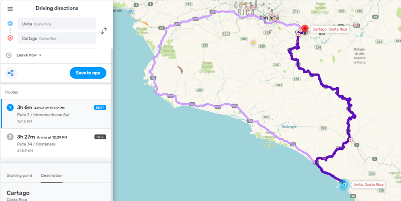
First, lets talk about another road, ruta 34. Ruta 2, although being part of the Pan American Highway, is not the most common route to take when traveling from the direction of San Jose to the central and south Pacific. Most people will use ruta 34, which runs along the coast and connects well-known tourist hotspots like Jaco, Manuel Antonio, Quepos, Dominical, and Uvita until it joins with ruta 2 at Palmar Norte. Note that this is a very good connection when you plan on visiting these destinations or plan to drive even further to the Osa Peninsula.

Ruta 2 the Mountain Highway
So when is ruta 2 a good option? It is a great option for people that travel between San José and the South Pacific and prefer to travel through the mountains and visit places like San Gerardo de Dota and Los Quetzales National Park. Also, when you go from the South Pacific, for example Dominical and Uvita, to the South Caribbean, for example Puerto Viejo de Talamanca, you should consider traveling via ruta 2. Ruta 2 will take you all the way to Cartago, from where you will take ruta 10 via Turrialba to the South Caribbean.
To cross the country from one coast to the other is, however, not recommended to undertake in one go. This journey will take up 10 to 12 hours. Although ruta 2 and ruta 10 are relatively good roads and very scenic, it is also a tiresome drive through the mountains. It is recommended to spend a night or two halfway. You can make a stop at San Gerardo de Dota, or you can stay in Turrialba or Orosí. From there you can visit various highlights in this region, like the Irazu Volcano, the Guayabo National Monument, and the Orosi Valley with Tapanti National Park.

Cerro de la Muerte
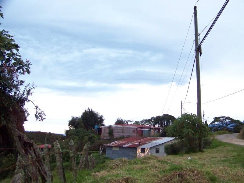
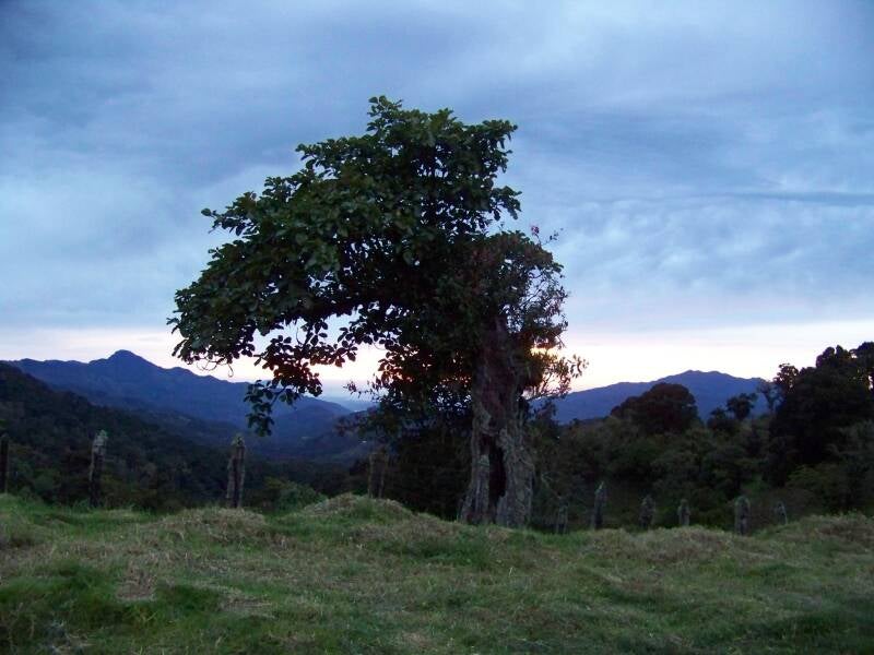
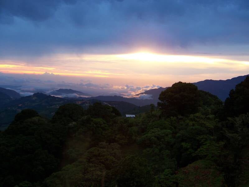
Ruta 2 is beautiful and scenic. Especially the part of the road known as Cerro de la Muerte. This part offers amazing panoramic views over the Talamanca mountain range, but be aware because this part of the highway is also notorious. Cerro de la Muerte translates to Mountain of Death… okay, I know that sounds dramatic. The main reason why this part carries this name is due to the high altitude and the cold and often difficult weather conditions, but not necessarily due to a violent past of tragic incidents. But be aware that this part of the road is not unknown to foggy conditions and rainfall, which, combined with the curvy road and one lane per direction, can make for slippery driving conditions and make it difficult to navigate. Occasionally the road even gets closed due to landslides. I would definitely recommend this route for the incredible views and the good connection with the South Central Valley and for people that plan on crossing the country from the South Pacific to the South Caribbean and vice versa. However, be aware of the risks when you find yourself in bad weather conditions and take your time.
Check Road Conditions
During the rainy season, it is advised to take precaution and drive this road with care. Inform yourself before you set out to travel via ruta 2 if there are no incidents or road closures. There even is a Facebook group that reports on incidents, called Info R2 Cerro de la Muerte. You can also check the current situation of a route on the Waze website.
What to Explore Next
Read more about driving in Costa Rica on the Traveling by Car page. You might also be interested in reading about the regions that are connected by Ruta 2: